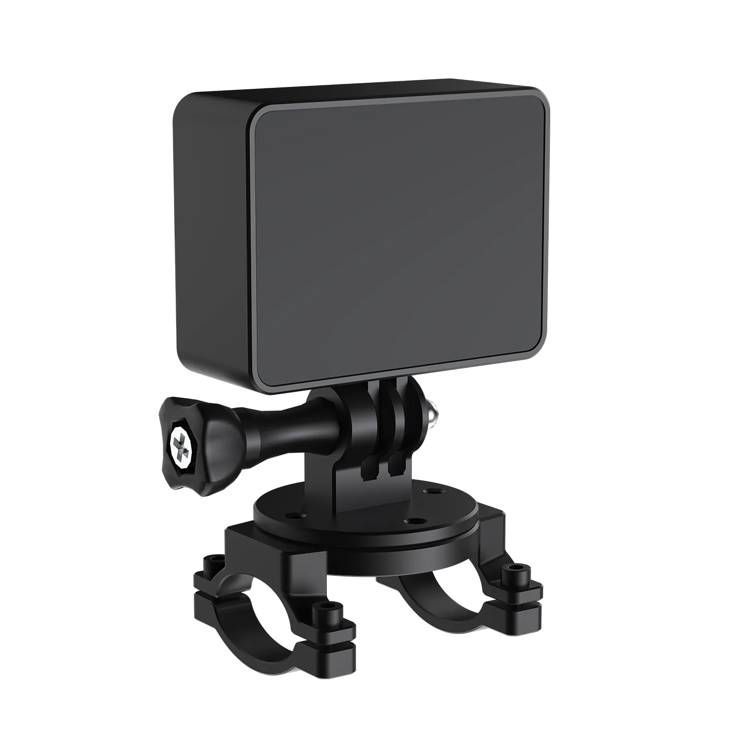
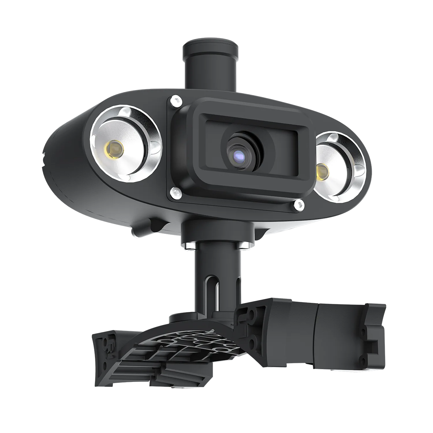
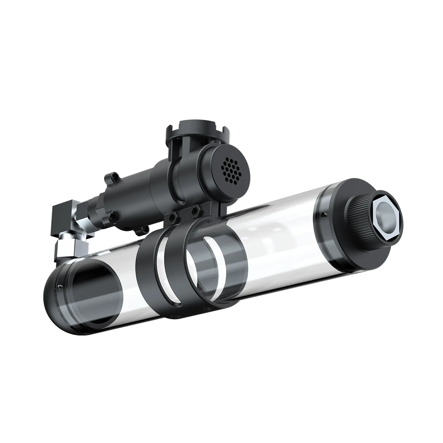
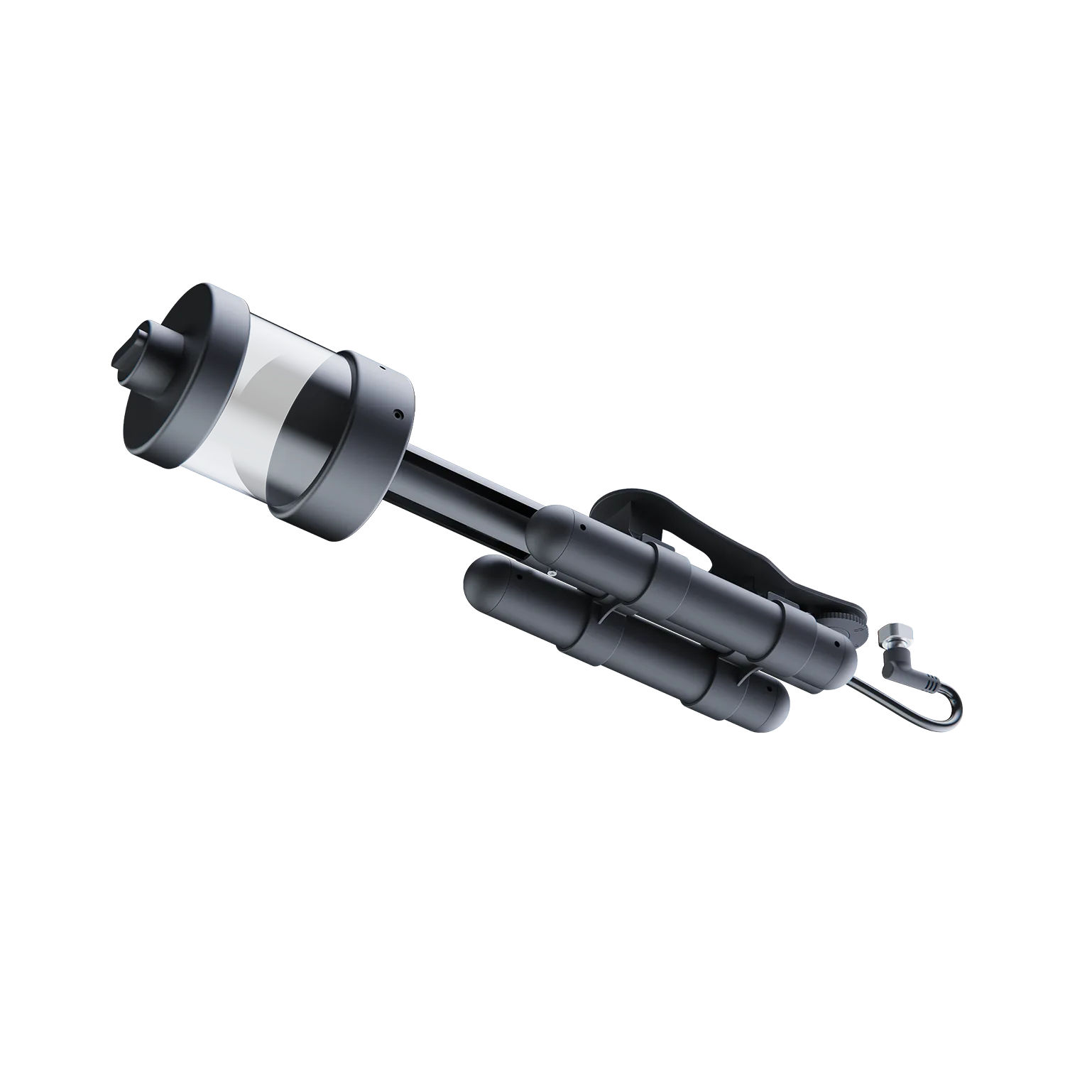
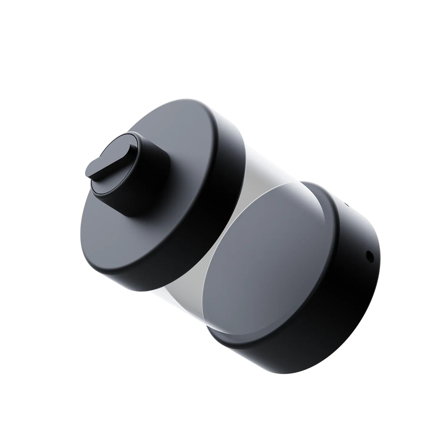
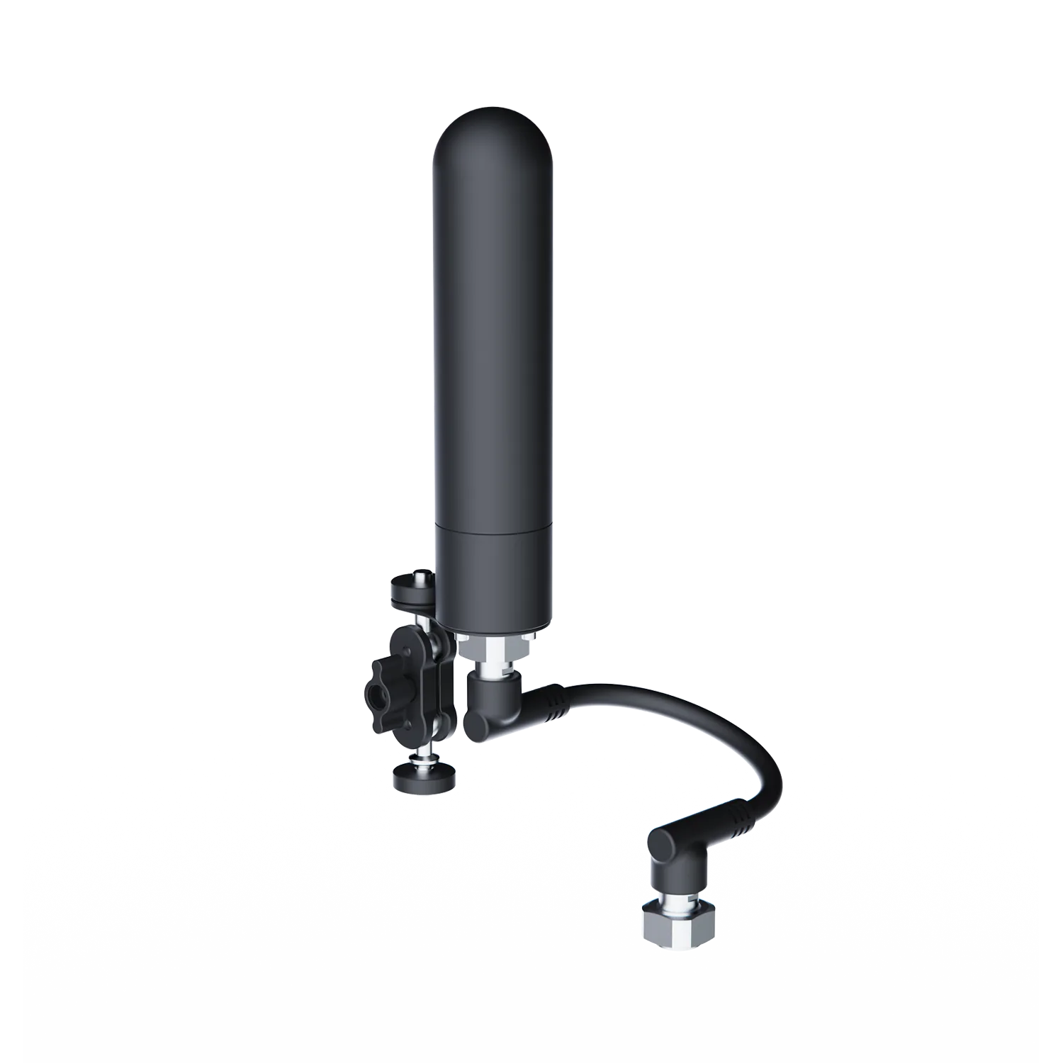
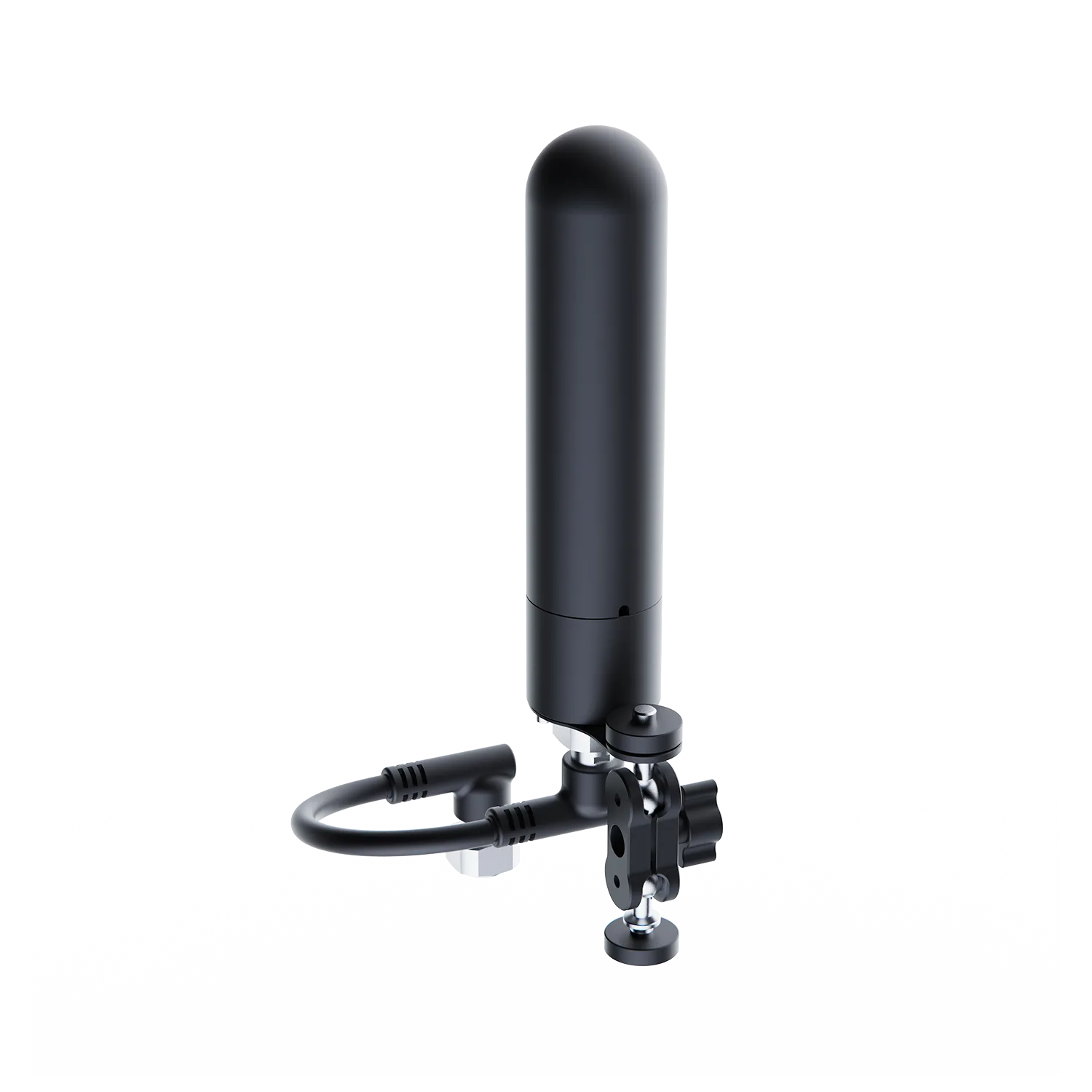
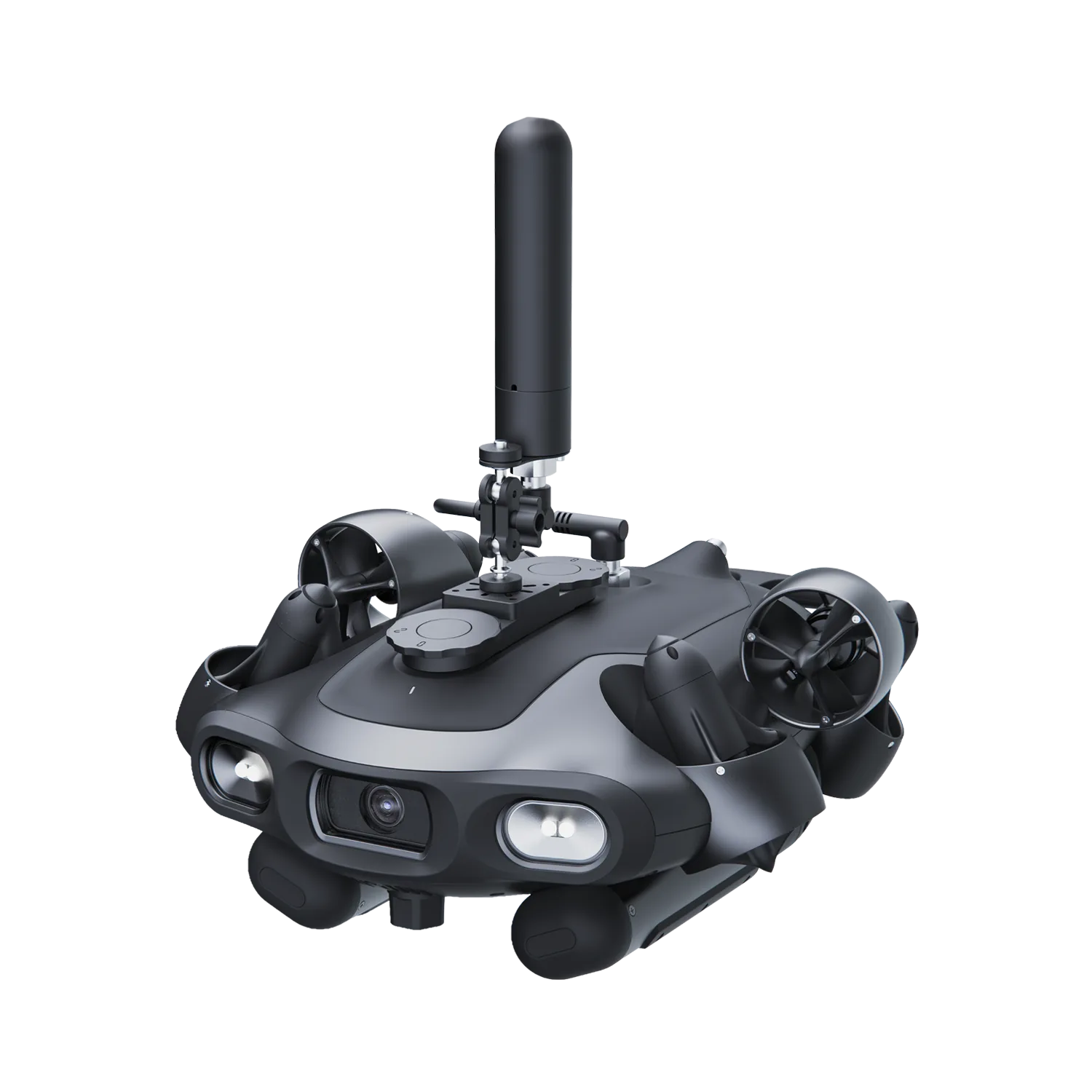
GNSS Locator
The GNSS Locator is a high-precision positioning terminal designed to eliminate "blind navigation" in underwater missions. By providing rapid satellite coordinate synchronization whenever the ROV surfaces, it establishes a reliable global reference for long-distance inspections and search operations. When integrated with advanced navigation tools, it transforms untraceable paths into precise, digitalized mission tracks, ensuring operational safety and efficiency in open-water environments. It is an essential positioning terminal for hydrological mapping, energy facility inspections, and intelligent aquaculture management.
See More
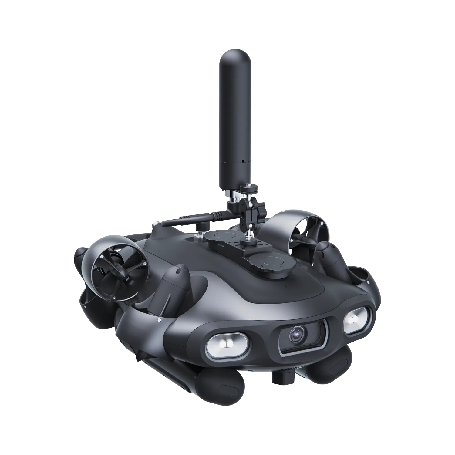
Compatible ROV Models
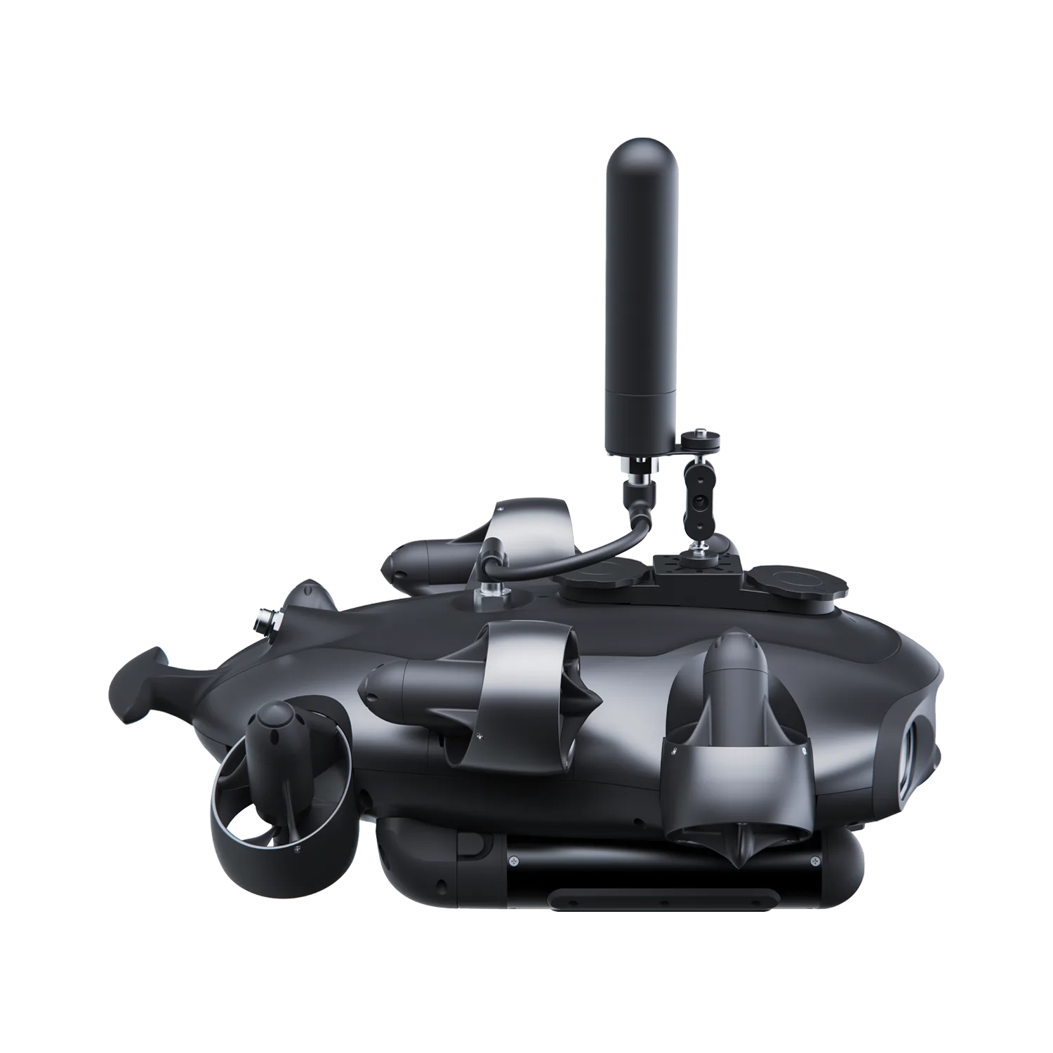
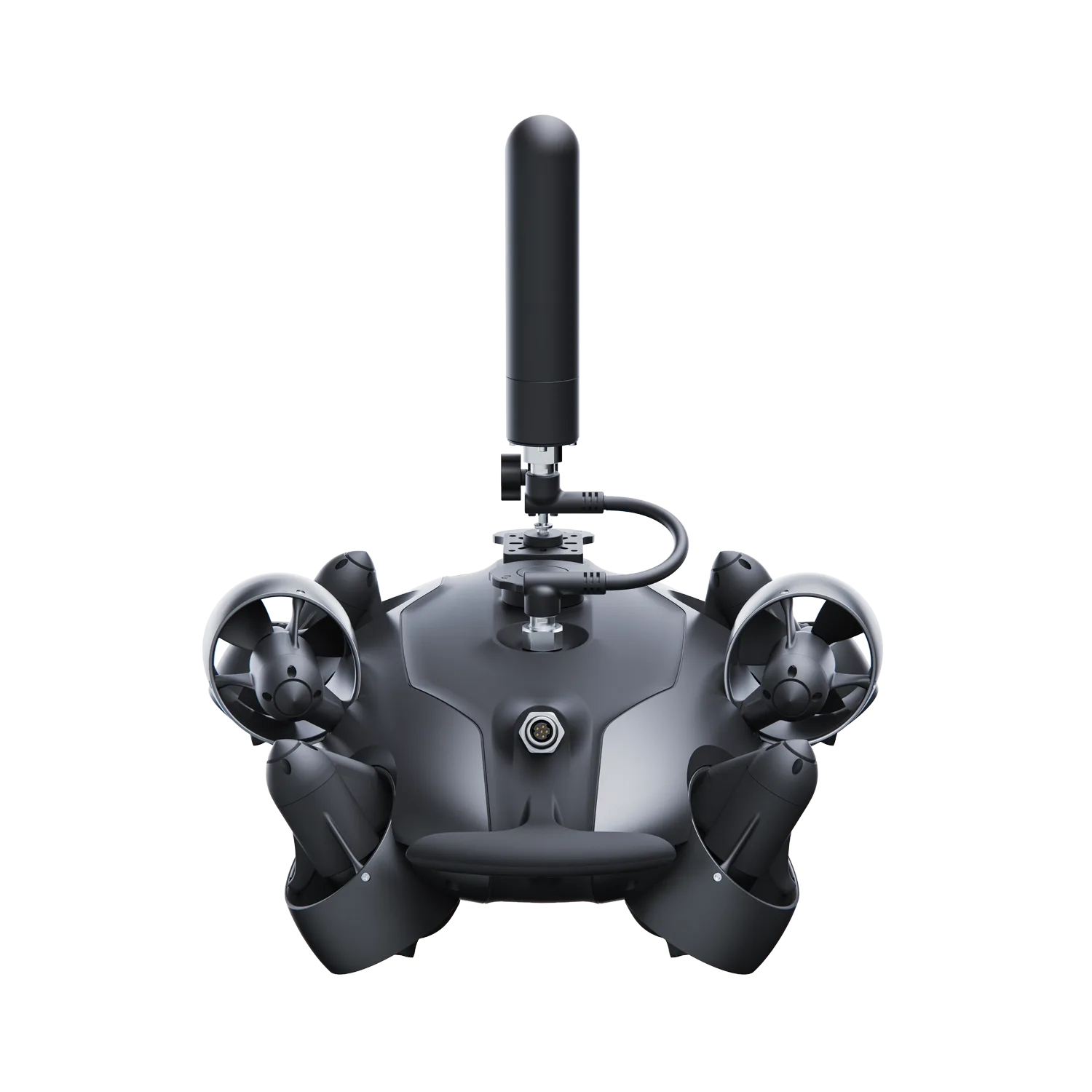
E-GO
Key Features:
- Surface Coordinate Sync: Captures satellite coordinates quickly when the ROV surfaces, creating a reliable global position reference.
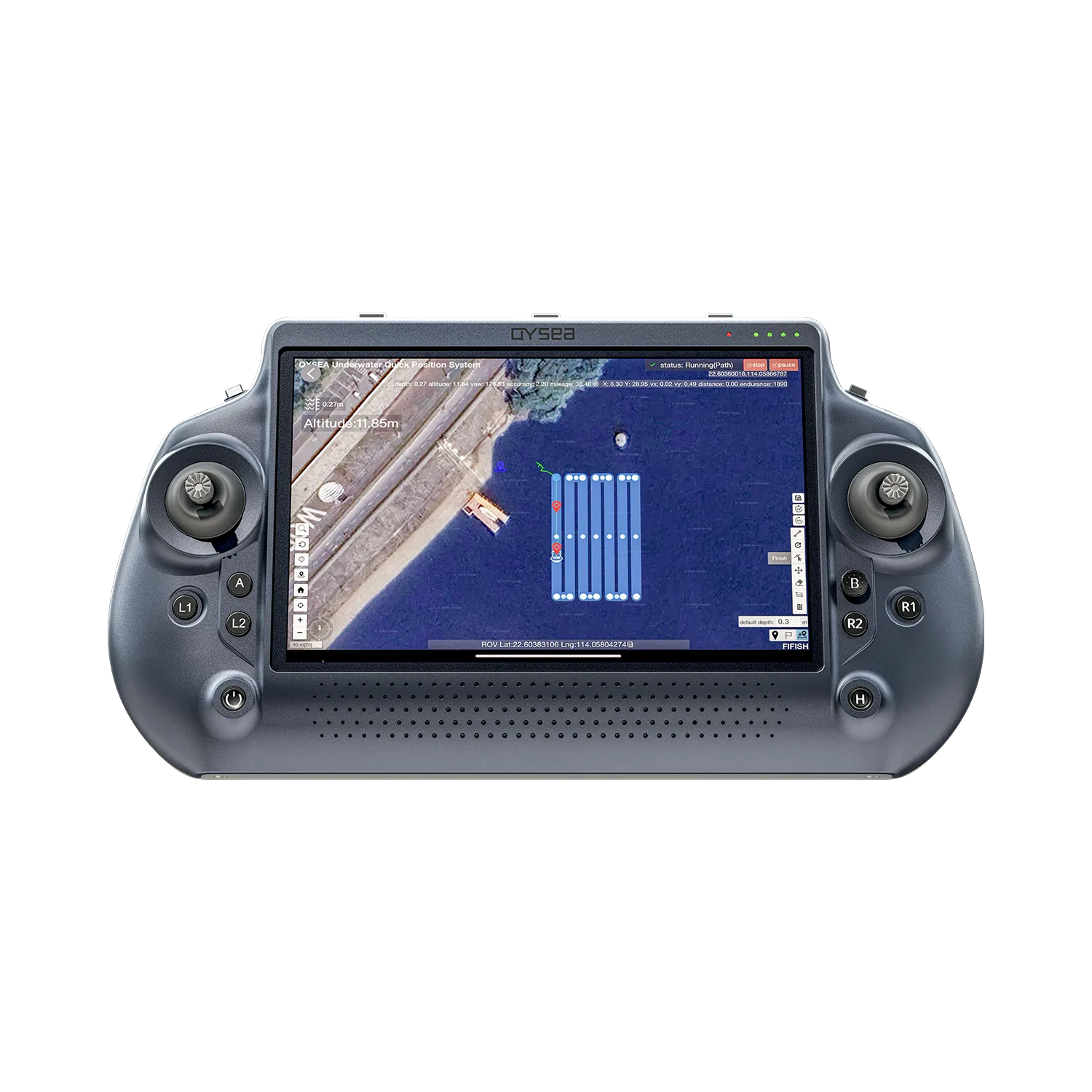
- Works with Q-DVL: When paired with Q-DVL , GNSS data helps support U-INS workflows and track visualization. (Q-DVL is sold separately.)
- Point Marking Support: Helps operators mark key positions and return to recorded locations more efficiently.
- Map-Based Mission Awareness: Supports clearer route visibility for inspection and search tasks.
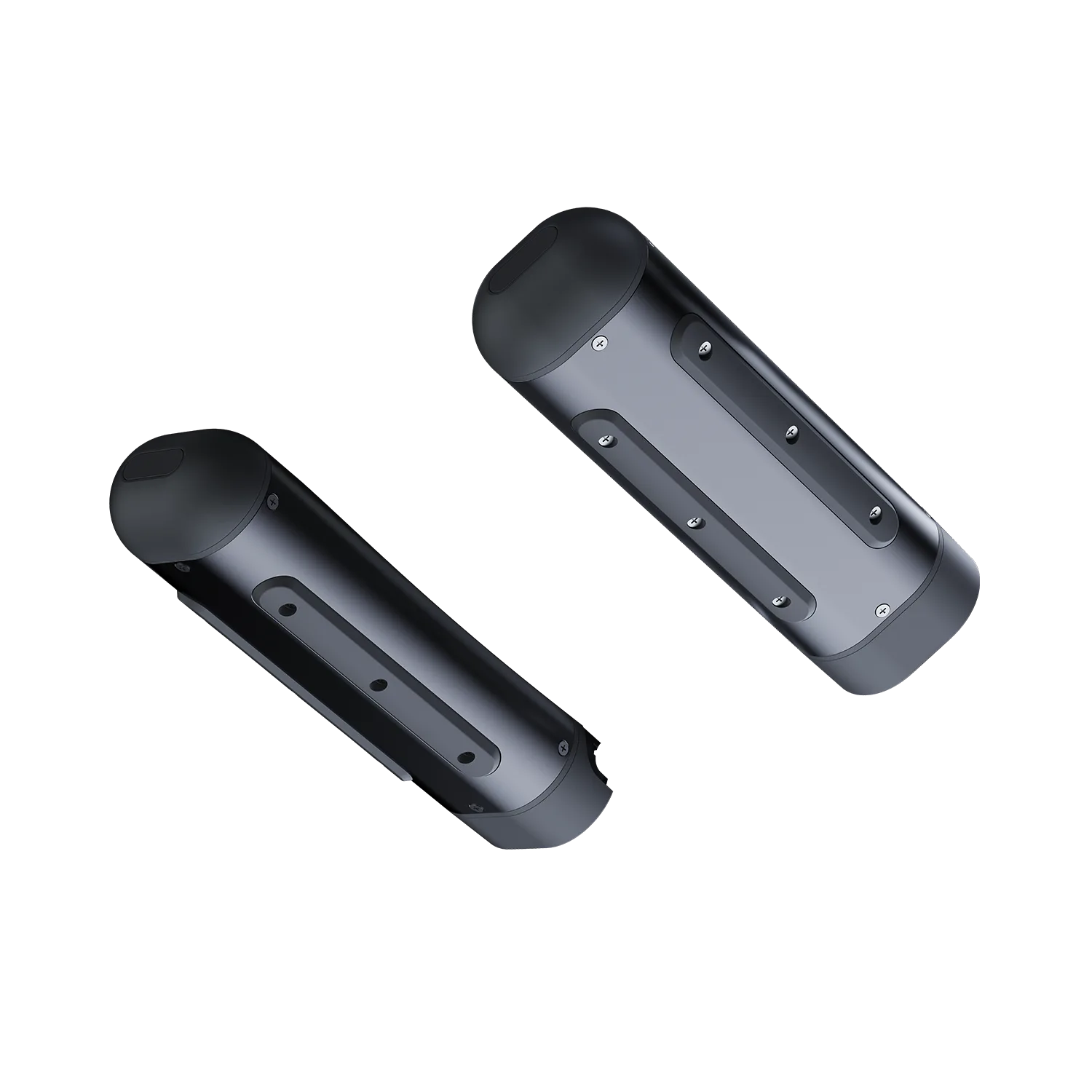
- Compact Top-Mounted Form: Designed for streamlined installation on compatible ROV platforms.
- Marine-Ready Construction: Built with sealed, corrosion-resistant construction for demanding offshore and inland-water use.
See More
Frequently Bought Together:
GNSS Locator
Sale price$1,600.00
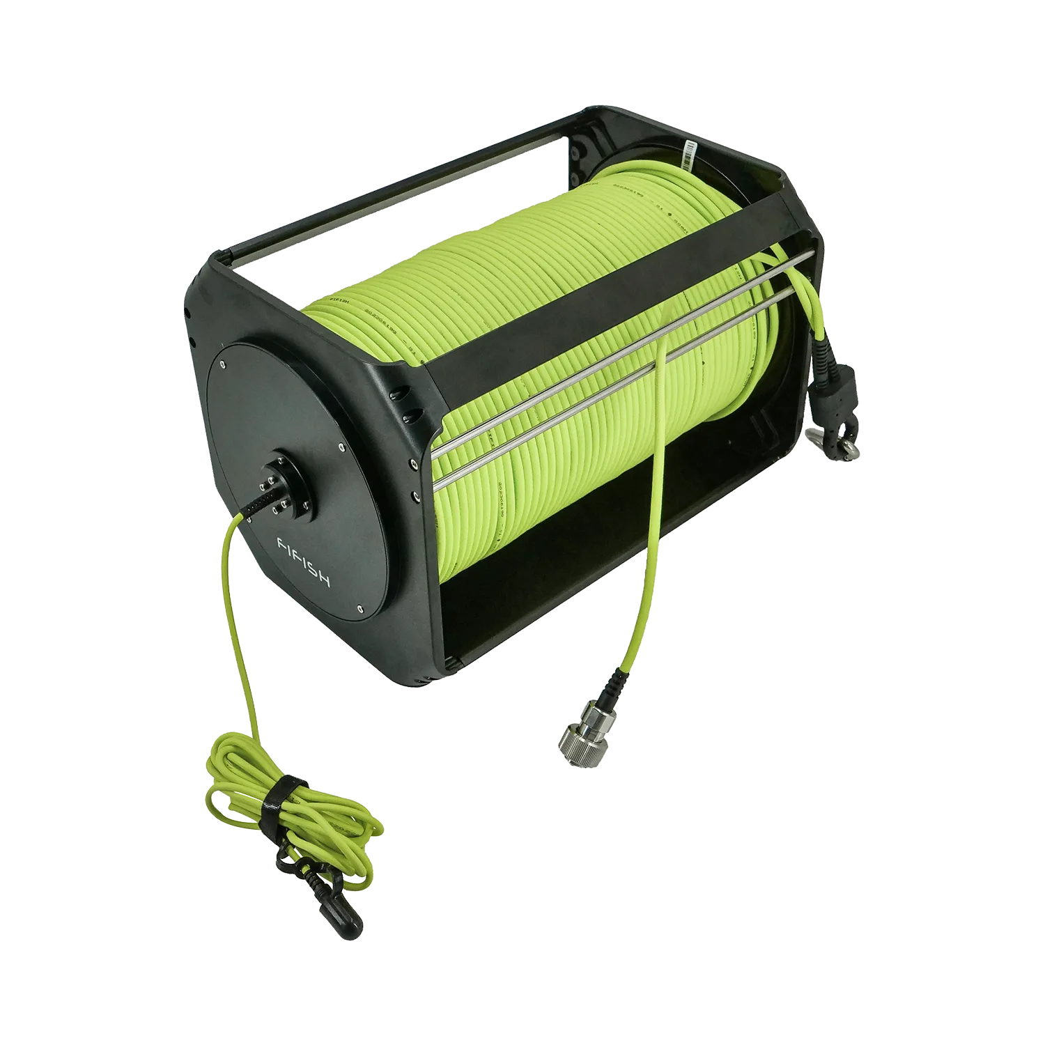
Specifications & In the Box
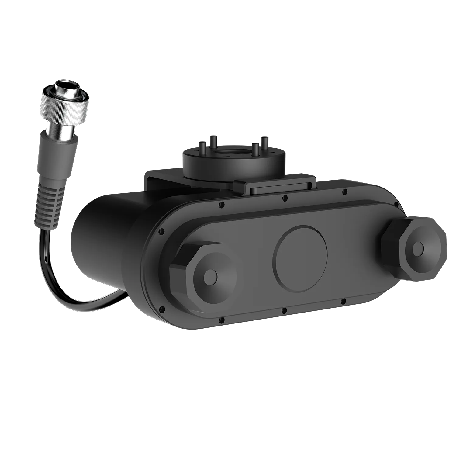
SpecificationsDepth Rating: 350 m (1,148 ft)
Input Voltage: DC 7 – 30 V
Communication: 100-BaseT Ethernet
Dimension: 20.7 × 5.8 × 3.6 cm (8.1 × 2.3 × 1.4 in)
Weight: 210 g (0.46 lbs) in air; 120 g (0.26 lbs) in water
Working Temperature: -10°C – 60°C (14°F – 140°F)
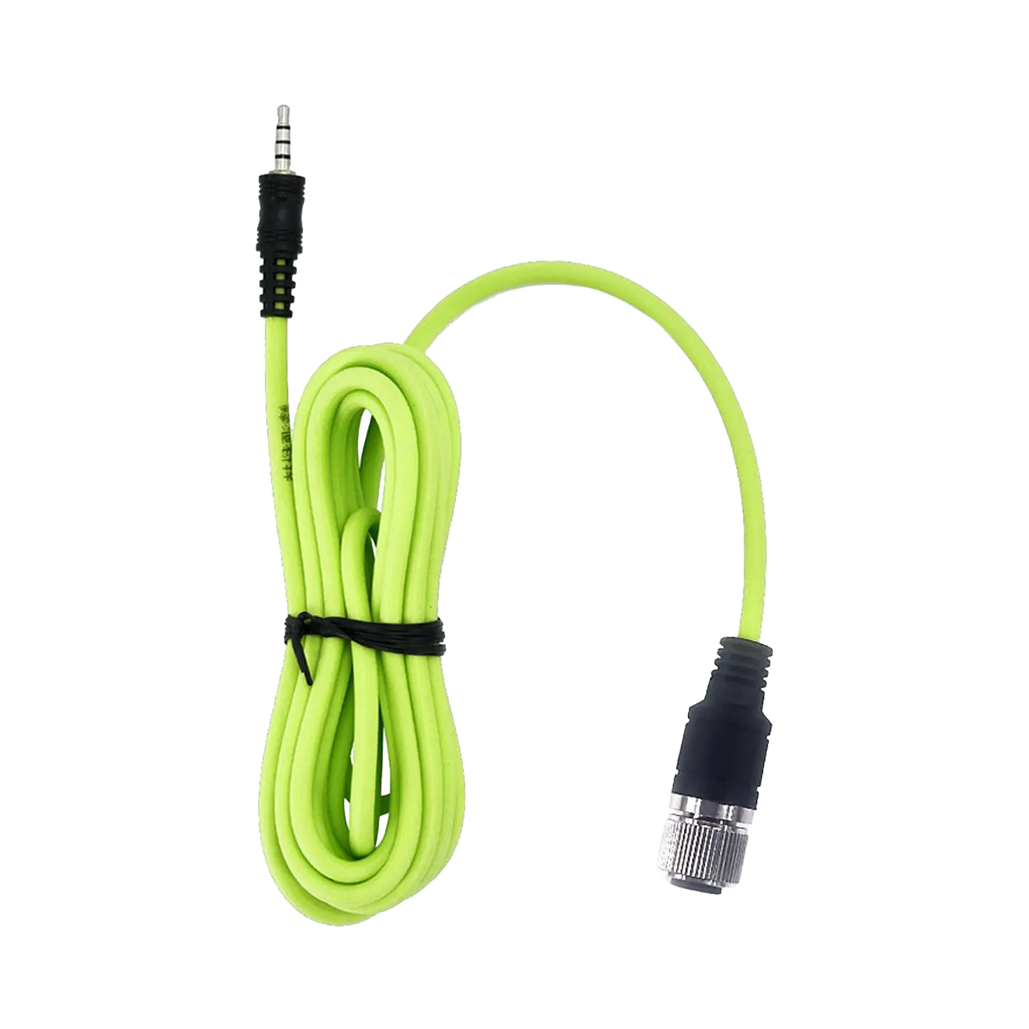
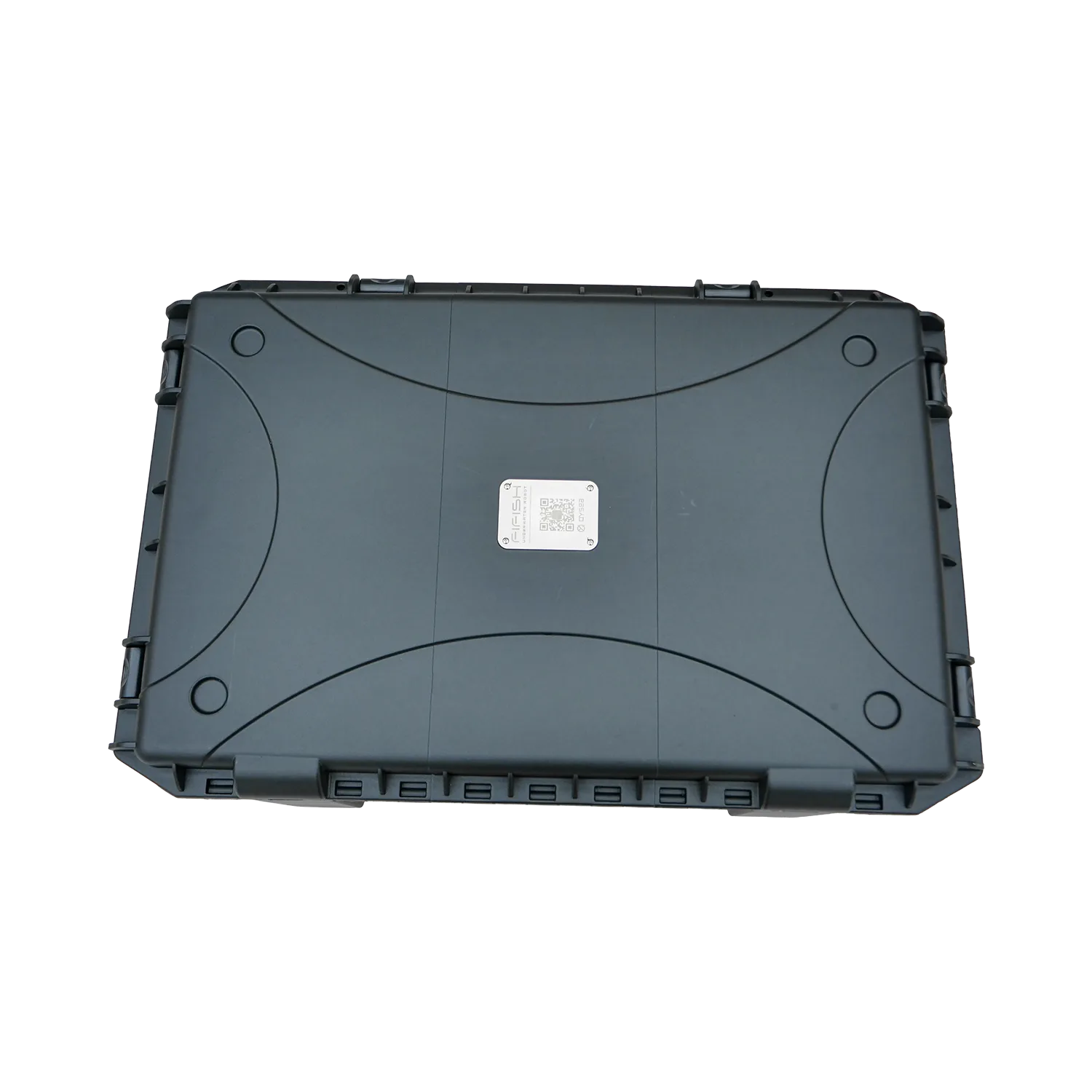
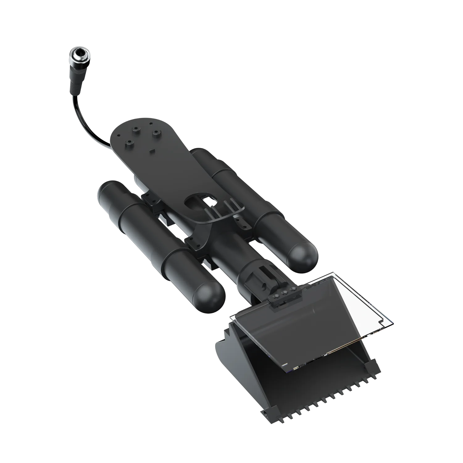
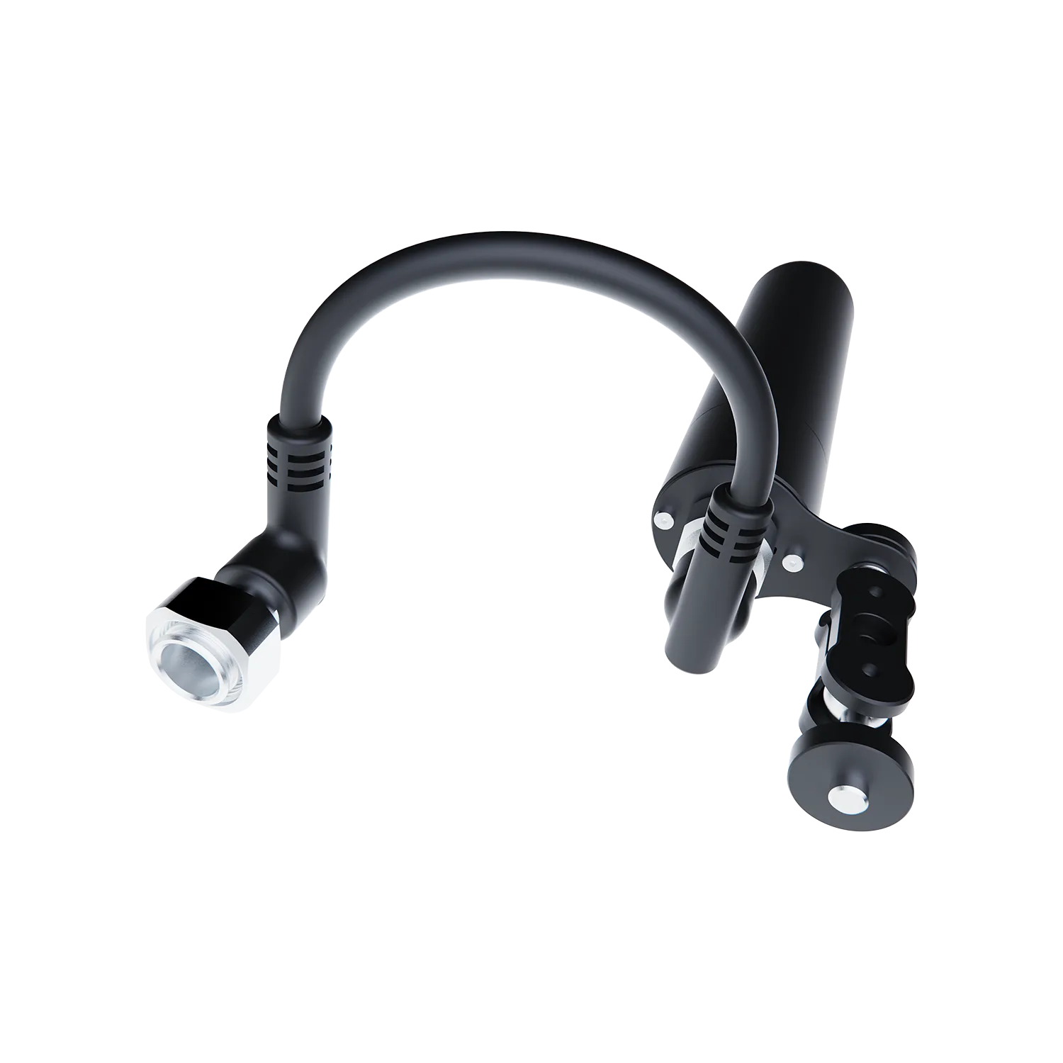
In the Box1 × GNSS Locator
1 × User Manual
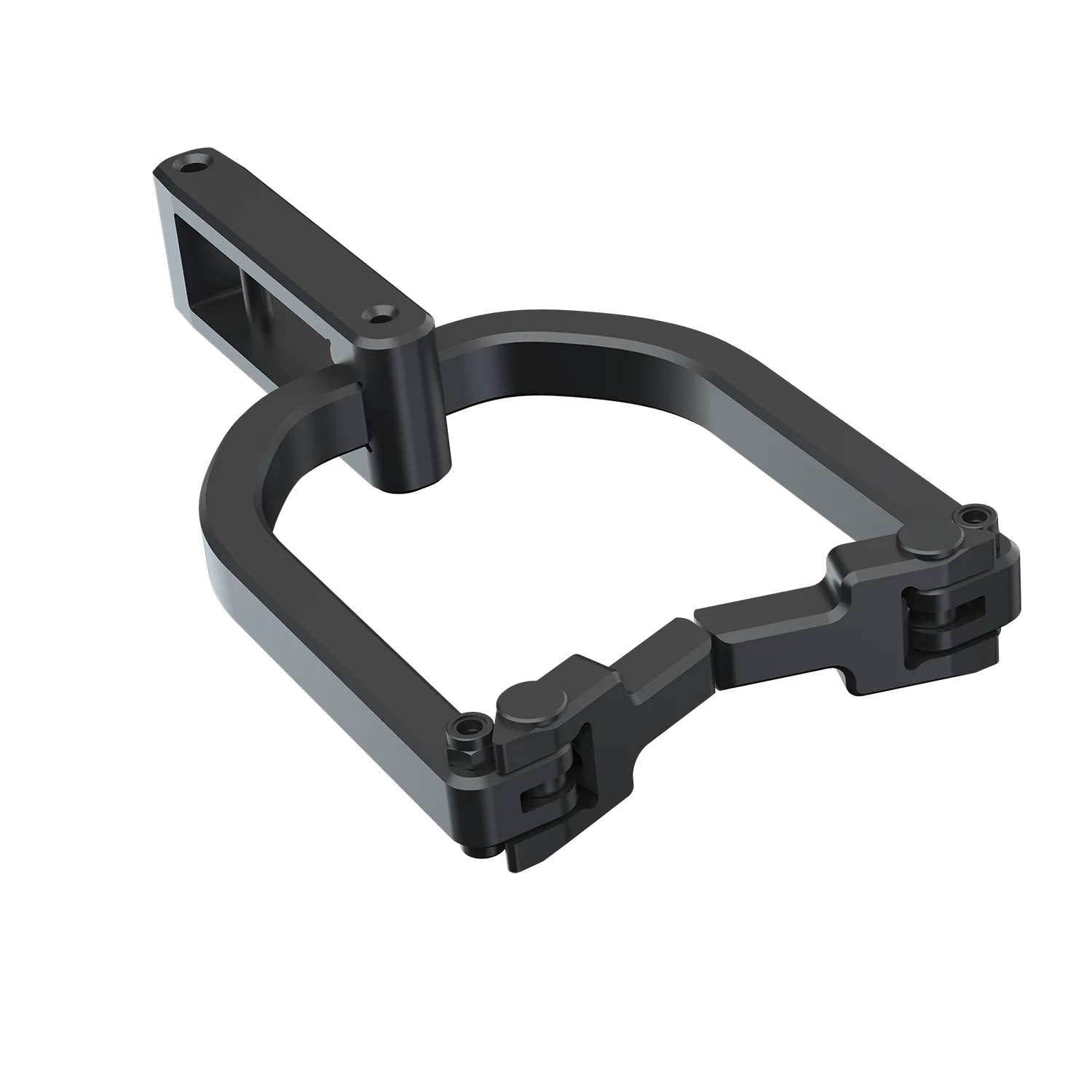
1 × Mounting Bracket
1 × Upper Modular Mounting Base
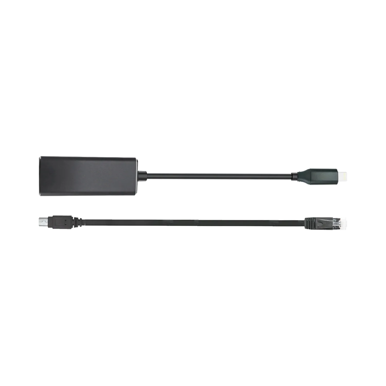
1 × Cable
1 Set × O-rings
Frequently Asked Questions
Have questions about our underwater ROVs or your order? We’re here to help!

Our customer support is available Monday to Friday: 9:00 a.m. – 6:00 p.m. (UTC+8).Average response time: Within 24 hours.
What is the GNSS Locator and which models does it support?
The GNSS Locator is a positioning module that allows the ROV to obtain real-time GPS coordinates when at the surface. It is specifically designed for the FIFISH E-GO series.
Which satellite systems are supported?
To ensure fast and stable positioning globally, the module supports multiple Global Navigation Satellite Systems (GNSS), including GPS (USA), GLONASS (Russia), Galileo (Europe) and BeiDou (China).
How does the GNSS Locator work?
The module integrates a high-sensitivity satellite antenna. When the ROV is at the surface, it receives time and position signals from satellites. This data is transmitted via the extension cable to the ROV's flight control system and overlaid on the FIFISH APP system.
Can I get a GPS signal while the ROV is deep underwater?
No. GPS/GNSS signals cannot penetrate water. The ROV must be at the surface or the GNSS module must be above the waterline to receive coordinates.
However, QYSEA provides advanced subsea positioning and navigation technologies to achieve real-time underwater tracking. Please contact our team for more details.
Our customer support is available Monday to Friday: 9:00 a.m. – 6:00 p.m. (UTC+8).Average response time: Within 24 hours.